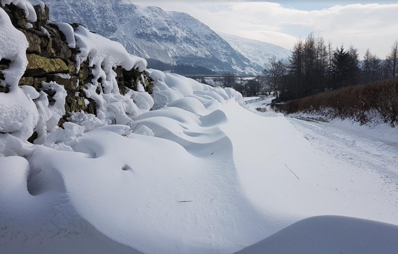
Turning colder with snow on the way

The UK will get colder later this weekend with a northerly airmass dropping temperatures and introducing snow to the forecast next week.
Through the end of the week and into the weekend high pressure will continue to drive a relatively benign spell of weather. Much of the UK will be under cloud cover, with the best of any sunny spells in the west. There will be some scattered showers, with snow falling over the tops of the Scottish mountains.
The area of high pressure currently located over Scotland will move away to the West at the start of next week, allowing a northerly airflow to sweep across the UK. The introduction of an arctic maritime airmass will bring snow showers to Scotland, Northern Ireland and along the East coast of England from Monday.
The snow showers will predominantly impact northern and eastern areas; however it will be cold across the UK, with widespread freezing conditions overnight.
Deputy Chief Meteorologist, Chris Almond, said: “Although we’ve moved into meteorological Spring there will be a distinctly wintry feel to our weather next week. Very cold air will spread across the UK bringing snow showers even to sea level in the north on Monday and these snow showers could spread further south on Tuesday.
“With freezing overnight temperatures and the risk of ice it is likely weather warnings will be issued for Monday and Tuesday once the detail of potential impacts becomes clearer, so keep an eye on the Met Office forecast.”
The UK Health Security Agency has issued a Level 2 Cold Weather Alert for the whole of England and is likely to be reviewed and extended in the coming days.
Get advice for keeping your home warm, staying safe in snow, looking after your pets in cold weather and more as part of WeatherReady.
Further ahead
Although there is uncertainty in the forecast by the middle of next week, the most likely scenario is for the cold spell to persist, but there is a lower probability that milder air will approach from the South West. There could be a spell of snow for a time before turning to rain if the milder air moves in. Whether this occurs, and how far north across the UK this milder air progresses is still uncertain and details will be determined with a shorter lead time.
